filmov
tv
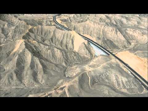
Citra Satelit WorldView-3

Показать описание
Berikut adalah video penjelasan apa itu citra satelit, khususnya citra satelit WorldView-3 beserta pemanfaatannya
Video ini juga dibuat sebagai bagian dari tugas pada mata kuliah Penginderaan Jauh II yang diampu oleh ibu Rika Hernawati
Tim A1:
232019038 Muhamad Rifky
credit to: Digital Globe / Maxar
------------------------
Feel free to like, comment and subscribe!!
-------------------------
You can always support me or just buy me a cup of coffee on:
------------------------
I'm a simple content creator, on YouTube I try to make content to educate and learn with my friends
You can find me on another platforms, stick around and have fun together!!
-------------------------
#DNG #tutorial #geodetic #engineering #worldview #satellite
 0:05:37
Citra Satelit WorldView-3
 0:01:03
WorldView-3 30cm Resolution Data
 0:01:36
WorldView 3 Satellite imagery being used to count number of birds
 0:06:45
🛑How to download High-resolution (0.3m) MAXAR satellite image for free, From OpenAreialMap & use...
 0:53:10
DigitalGlobe LEAD Webinar Series: WorldView-3 for Property Evaluation, Operations & Geology
 0:01:43
WorldView-3 satellite imagery draped over digital surface model (DSM) - Muscat | Oman
 0:02:52
Total Surveillance : Google's WorldView-3 Satellite to capture Super High-Res Images (Aug 19, 2...
 0:02:11
Proses Orthorektifikasi Citra Worldview 3 (Multispektral) dengan Variasi GCP dan ICP
 0:00:43
Contoh Peta Citra Satelit WORLDVIEW-02
 0:09:31
Mata elang China lampaui dunia hari ini | Worldview-3 vs Jilin-1 Gaofen-05B
 0:00:37
DigitalGlobe satellite constellation
 0:07:24
Download very high resolution satellite image 0.3 meter
 0:05:33
How to observe daily satellite images in NASA Worldview
 0:05:26
Lanzamiento de WorldView-3
 0:01:56
WorldView-3 | Wikipedia audio article
 0:00:23
Video diambil dari hasil rekaman citra Satelit WorldView resolusi pixel 0.5 meter
 0:02:21
mangroveNET Series: Pemetaan hutan mangrove alami dan buatan menggunakan citra Worldview 3
 0:18:47
ortho csrt worldview 3 menggunakan PCI Geomatica
 0:01:17
Automatic coastline extraction using high resolution WorldView satellite imagery and ERDAS 2018
 0:03:39
Lanzamiento WorldView 3 5ta parte
 0:04:01
Citra Satelit Resolusi Tinggi Worldview 2
 0:07:29
Free Download - Very High Resolution Images for Disaster Events -Worldview Images - DIGITAL GLOBE
 0:00:25
WorldView-2 satellite imagery draped over digital surface model (DSM) - London | UK
 0:01:37
Airbus to launch very high res satellites by 2021
Комментарии