filmov
tv
ArcGIS Enterprise: Best Practices for Layers and Service Types

Показать описание
This session will cover publishing strategies in ArcGIS Enterprise, including key design requirements and considerations and architectural best practices. We will include technical details to help you understand the underlying service types, such as feature vs. map image layers, tiles and caches, hosted and traditional services, as well as information products, such as web layers and smart mapping. After attending this session you will have a better idea of how each of the service types in ArcGIS Enterprise work together in order to optimize your applications and publication workflows.
--------------------------------------------------------------------------------------------------------------------------
Follow us on Social Media!
12386
--------------------------------------------------------------------------------------------------------------------------
Follow us on Social Media!
12386
 1:00:17
ArcGIS Enterprise: Best Practices for Layers and Service Types
 1:15:36
ArcGIS Enterprise: Best Practices for Layers and Service Types
 1:03:13
ArcGIS Enterprise: Best Practices for Layers and Service Types
 0:20:19
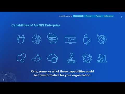
Best practices for ArcGIS Enterprise
 1:01:25
ArcGIS Enterprise: Performance and Scalability Best Practices
 0:37:49
ArcGIS Enterprise: Best Practices and Extending your System
 1:16:28
ArcGIS Enterprise: Performance and Scalability Best Practices
 0:41:01
ArcGIS Enterprise – Best Practices and Deployment Options - Will Meyers
 0:42:01
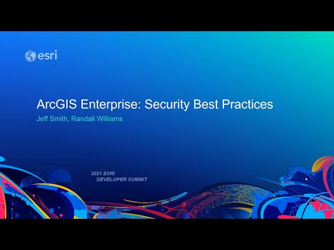
ArcGIS Enterprise: Security Best Practices
 0:34:04
Architecting the ArcGIS Platform: Best Practices
 0:03:00
Best Practices for ArcGIS Online Administration in Higher Education: Enabling Enterprise Logins
 0:49:22
ArcGIS Enterprise: Security Best Practices
 0:01:47
ArcGIS Enterprise: Administration Workflows
 0:57:06
Best Practices for 3D Scene Services
 0:23:43
ArcGIS Enterprise Tips and Tricks - Esri Ireland 'Do One Thing Well' Webinar #5
 0:03:10
Best Practices for ArcGIS Online Administration in Higher Education: Setting New Member Defaults
 0:39:51
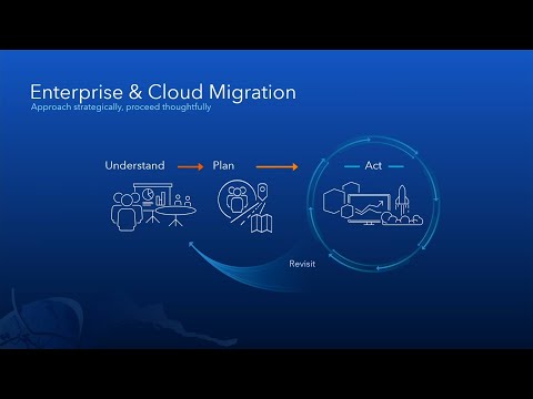
ArcGIS Enterprise: Migration Strategies
 0:33:39
ArcGIS Enterprise in the cloud (AWS) – Tips and Tricks for Successful Deployments
 1:28:29
ArcGIS Online Steps For Success: A Best Practices Approach
 0:41:27
ArcGIS Enterprise: User management
 0:47:47
ArcGIS Enterprise: Managing content
 1:02:21
ArcGIS Enterprise Customization and Administration
 0:57:50
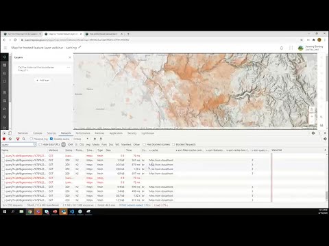
ArcGIS Online: Best Practices for Hosted Feature Layers
 0:56:13
Enterprise GIS: Strategic Planning for Success
Комментарии