filmov
tv
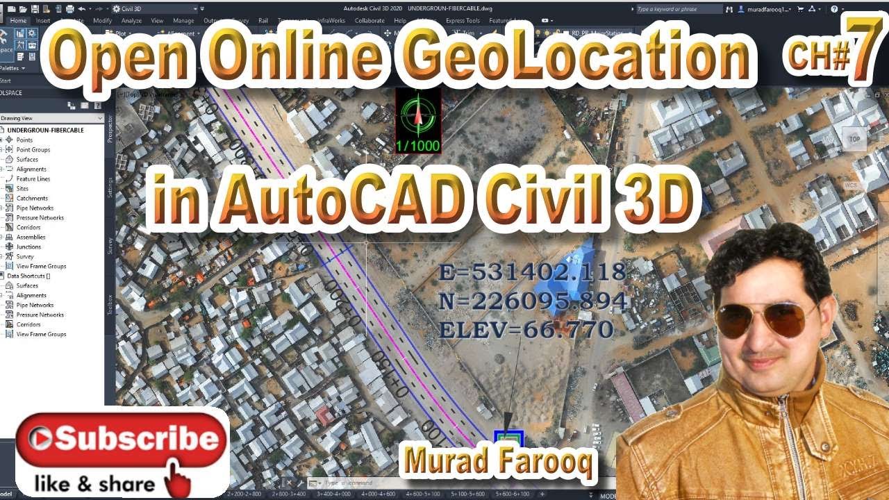
Geolocation in AutoCAD Civil 3D | Google Map overlay in AutoCAD | Online Satellite Map Autodesk Map.
Показать описание
In this video, I will explain a new method by which you can use online satellite image overlay in AutoCAD directly.
#autodesk , #globalmapper #civil3d
If you want any kind of Work, complete Data and Drawings set or you want online zoom training or any work realted Road and highwyas Desgin Contact me :-
Udemy Courses:
* 6 Kilometres Practically Complete Roads and highways & Junction Design Course Autodesk Civil 3D.
Link:-👇🏻
* Complete Roads and highways Design Course Autodesk Civil 3D.
Link:-👇🏻
* Complete Road design + open channel + Roundabout Design 3 in 1 with very details Course on Udemy is live now and I am offering my youtube students with discount hurry up and enroll now for a limited time offer best of luck. I am offering a 50% discount for my youtube Students.
Udemy Course link:-
AutoCAD Complete Course Basic to advance Level:-
For Civil Engineering PDF Books Join Telegram :-
Money-back guarantee
If you are not satisfied with the course, request a refund within 30 calendar days of your purchase and I will honor the request. That’s how confident I am about my courses. You will be blown away by the training. You can try the course risk-free to understand if it is the type of training you’re looking for, and if not, get 100% of your money back.
Related Videos:
1) How To Use Google For Beginners. CH# 1
2) How To Extrac Data From Google Earth To Excel By Using TCX Convertor.CH#2
3) How to add location in Google Maps | Add home Shops or New place in Google maps. CH# 3
4) How To Convert AutoCAD Drawing To KML/KMZ To Google Earth. CH#4
1)How to Change background Color Settings in Civil 3d
2)How To Import Points In Civil 3D Ch# 01
3)How to Create Surface with Contours and Basic Drawing settingsN Ch# 02
4)How To Draw Road Alignment In Civil 3D CH# 03
5)How To Draw and Prepare Survey As built Data in Civil 3D and Export Data to Excel
6) How To Calculate Volume In Civil 3D. CH# 05
7)How To Draw Simple Road Profile By Using Lisp. CH# 06
8)How To Prepare Leveling Control Report Road alignment,as built,Export data to Excel. CH# 07
9) How To Import X,Y,Z Coordinates From Excel To Auto cad. CH# 08
10) HOW TO DRAW COORDINATES ON ROAD ALIGNMENT / CENTER LINE . CH# 09
11) 1)How to Change background Color Settings in Civil 3d
2)How To Import Points In Civil 3D Ch# 01
3)How to Create Surface with Contours and Basic Drawing settingsN Ch# 02
4)How To Draw Road Alignment In Civil 3D CH# 03
 0:04:12
How to Set Geo Location in AutoCad?
 0:09:24
Geolocation in AutoCAD Civil 3D | Google Map overlay in AutoCAD | Online Satellite Map Autodesk Map.
 0:01:55
How to add Google earth in Autocad Civil 3D 2020 || Hot! Hot!
 0:06:57
AutoCAD Geolocation - How to create quickly your site location plan
 0:04:22
Georreferenciar o GEOLOCATION no AutoCAD Civil 3D 2020
 0:08:07
Geolocation|| autocad civil3D geolocation using projected coordinate system ||
 0:02:19
Setting up Geolocation in Autocad
 0:02:42
AutoCad Civil 3D 2015 Geolocation
 0:01:24
AutoCAD Civil 3D Geographic Location
 0:04:26
Civil 3D Geolocation Map.
 0:09:27
Google Earth Overlay using Geolocation | Civil3D |Tutorial
 0:08:13
Create Contour from Google Earth to Civil 3D
 0:06:17
AutoCAD Civil 3D - Menampilkan Online Map Geolocation
 0:01:04
AutoCAD Civil 3d - Geolocation button disappears ?
 0:02:23
Google Earth para Geolocation no programa AutoCAD Civil 3D 2018
 0:01:18
Geo map to Civil3D
 0:08:07
how to open google earth in autocad
 0:02:24
Geolocation Problem|| Autodesk sign in problem revealed ||
 0:03:57
Geolocation - AutoCAD Civil 3D 2018 - Baixar, instalar e ativar
 0:04:16
Online Map Geolocation Problem (Civil 3D)2015-2018
 0:02:53
How to add live google map in AutoCAD Civil 3D
 0:05:44
Civil3D Geolocation || how to pick details with geolocation tools on civil3d ||
 0:00:42
Crop Orthophoto in Autocad Civil 3D
 0:05:06
AutoCAD Civil 3D Coordinate Conversion
Комментарии