filmov
tv
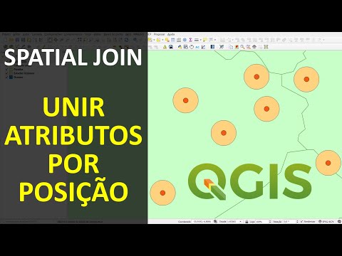
QGIS - Spatial Join & Thematic

Показать описание
Video #120b
In this video I demonstrate several tools - hence it being a bit longer than the others.
I have a number of points in London, on top of some A Roads and I wanted to take the road name/code and join that to my points layer. So basically a spatial attribute join.
* A 50m buffer is created around the A Roads
* Then a Join Attributes by Location is executed - selecting only the road_no attribute to bring across
* The number of points than fall within each buffer are counted and a thematic view of the layer is generated using the new NUMPOINTS attribute as the classification.
QGIS default tools used are:
Buffer (under Vector: GeoProcessing Tools)
Join Attributes by Location (under Vector: Data Management Tools)
Count Points in Polygon (under Vector: Analysis Tools)
Updated new video (no. 164) on just the Join Attributes by Location feature
 0:08:07
 0:08:30
 0:04:12
 0:04:14
 0:08:52
 0:15:11
 0:12:45
 0:05:55
 0:02:21
 0:08:57
 0:10:17
 0:01:23
 0:11:09
 0:15:30
 0:04:28
 0:11:50
 0:08:42
 0:04:22
 0:04:15
 0:04:37
 0:04:39
 0:05:38
 0:04:54
 0:01:05