filmov
tv
GIS Join - Flat Data File To Georeferenced Point, Line or Polygon

Показать описание
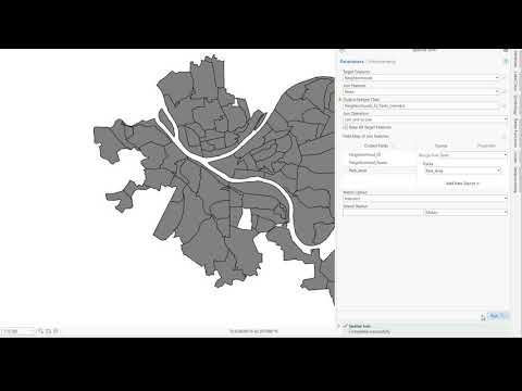
Geocoding a data tableau with a georeferenced polygon file. This example has a national database of 5 digit ZIP codes. An XLS spreadsheet has a small list of ZIP codes for one county. The XLS data file has only a few attributes. Using the common field of 5 digit ZIP, the two are joined thereby making the flat file data tableau to be geospatial.
 0:05:02
 0:08:15
 0:06:11
 0:08:03
 0:09:20
 0:21:06
 0:04:14
 0:24:48
 0:09:29
 0:01:06
 0:06:20
 0:07:28
 0:08:24
 3:14:36
 0:08:19
 0:06:31
 0:12:27
 0:00:08
 0:00:12
 0:04:19
 0:00:16
 0:08:25
 0:00:16
 0:07:54