filmov
tv
Python Folium #5 - Sending coordinates to Python

Показать описание
Part 5 of the Folium series where I go over how to send coordinates from the folium map to the a python program. So that they can be processed/handles/redrawn by python. This video is kind of long an goes over the entire creation as well as debugging process.
 0:31:29
Python Folium #5 - Sending coordinates to Python
 0:17:19
Python Interactive Maps with Folium | Part 1
 0:11:06
How To Create Detail Map Layers With Python Folium
 0:02:12
How to visualize recent Earthquakes in Python | Folium | Part 1/2
 0:00:57
How to show world map using python folium package.
 0:12:54
Mapping Idly locations using Folium!
 0:05:37
Python Folium #4 - Adding onClick Interactions
 0:06:54
Animated lines in python folium maps
 0:13:17
Python Folium - simple geocoder for free
 0:01:37
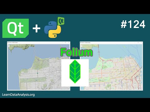
Python Maps, QT, PyQT, PySide | Using Folium or Google Maps(Source code available)
 0:45:33
Advanced Data Visualization | Folium Map using matplotlib Python | IIIT Pune | Dr. Mubarak A Mujawar
 0:05:53
Display Folium Maps in PyQt5 | PyQt5 Tutorial
 0:02:14
GIS: Get coordinates from Folium's feature LatLngPopup in Python
 0:51:49
Introduction to Maps in Folium and Python (Best Folium and Python Tutorial)
 0:02:16
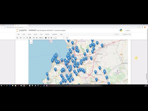
Combine Web Scraping, API Requests & Map Visualization with Python
 0:21:37
How to visualize recent Earthquakes in Python | Folium | Part 2/2
 0:12:52
Building Choropleth Maps with Folium and Pandas (Python)
 0:05:04
Flight Tracker API | Python Code | Diverted Flights | folium and scatter_geo
 0:00:16
Testing Stable Diffusion inpainting on video footage #shorts
 0:38:18
Beautiful, Interactive, and Portable Maps using Folium and Live API Data - Ariel M'ndange-Pfupf...
 0:01:30
Geo-Spatial Analysis using Python library, Folium
 0:03:00
1 - Folium Intro - Web Mapping with Python Folium Basics
 0:19:13
Python Folium #3 - Folium Code Injection
 0:45:12
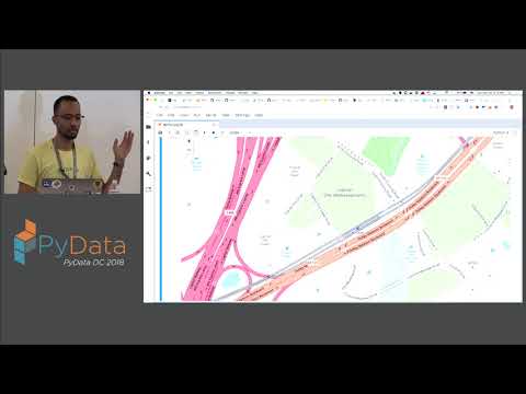
Geographic Software Design Week 13: Introducing the folium Python package
Комментарии