filmov
tv
CoCoRaHS WxTalk Webinar #65: Into The Wind…Oh, The Places Mobile Radars Will Go!

Показать описание
Karen Kosiba from the Center for Severe Weather Research in Boulder, Colorado presents: Into the Wind...Oh, the places mobile radars will go!
The Doppler on Wheels (DOW) mobile radars have been used, often in tandem with other instrumentation, to study tornado formation and structure, the boundary layer of landfalling hurricanes, the internal structure of lake effect snow bands, the gust front structure of potentially severe-wind producing MCSs, and other mesoscale phenomena. Some key findings include the existence of rear-flank downdraft surges, which may impact tornadogenesis, the existence of strong winds in tornadoes very close to the surface, small scale structures that may impact energy distribution and wind speeds in the near surface hurricane boundary layer, and the existence of misovortices in intense lake-effect snow bands. As part of this webinar, Karen will share with you the adventures (and misadventures!) of learning about tornadoes, hurricanes, winter storms, and other high impact weather from over a decade of field work...and discuss what projects are on the horizon.
The Doppler on Wheels (DOW) mobile radars have been used, often in tandem with other instrumentation, to study tornado formation and structure, the boundary layer of landfalling hurricanes, the internal structure of lake effect snow bands, the gust front structure of potentially severe-wind producing MCSs, and other mesoscale phenomena. Some key findings include the existence of rear-flank downdraft surges, which may impact tornadogenesis, the existence of strong winds in tornadoes very close to the surface, small scale structures that may impact energy distribution and wind speeds in the near surface hurricane boundary layer, and the existence of misovortices in intense lake-effect snow bands. As part of this webinar, Karen will share with you the adventures (and misadventures!) of learning about tornadoes, hurricanes, winter storms, and other high impact weather from over a decade of field work...and discuss what projects are on the horizon.
CoCoRaHS WxTalk Webinar #65: Into The Wind…Oh, The Places Mobile Radars Will Go!
CoCoRaHS WxTalk Webinar #3: Who Uses Weather and Climate Data and How Do They Do It?
Multi Day Reporting | CoCoRaHS Tutorials
CoCoRaHS WxTalk Webinar #7: Hurricanes
CoCoRaHS WxTalk Webinar #64: Winter Weather, Climate and Snow
CoCoRaHS WxTalk Webinar #16 - I before E -- Except in Drought
CoCoRaHS WxTalk Webinar #52: Climate of the South Central United States
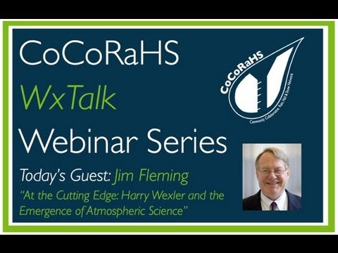
CoCoRaHS WxTalk Webinar #18: Harry Wexler and the Emergence of Atmospheric Science
CoCoRaHS WxTalk Webinar #61: Storm Surge, Run From the Water, Hide from the Wind
CoCoRaHS WxTalk Webinar #26: How River Forecast Centers Measure The Hydrologic Cycle
CoCoRaHS WxTalk Webinar #2: Remote Sensing
CoCoRaHS WxTalk Webinar #42: All You Ever Wanted To Know About Lake effect Snow
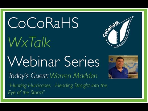
CoCoRaHS WxTalk Webinar #68: Hunting Hurricanes -- Heading Straight into the Eye of the Storm
CoCoRaHS WxTalk Webinar #71: Everything you wanted to know about NOAA Weather Radio
CoCoRaHS WxTalk Webinar #8: Wind and Wildfire - A Dangerous Combination
CoCoRaHS WxTalk Webinar #28: Keeping an eye on the Blue Marble - How NASA studies Earth
CoCoRaHS WxTalk Webinar #79: Ice Accretion
CoCoRaHS WxTalk Webinar #49: Weather, climate and extremes in the western U.S.
CoCoRaHS WxTalk Webinar #47: The Climate and Weather of the Midwestern U.S.
CoCoRaHS WxTalk Webinar #83: The Graphics Boom - How Not to Go Bust
WxTalk Webinar Special: Top Ten Weather Events in 2021
CoCoRaHS WxTalk Webinar #15: An Introduction to Doppler and Dual polarization Weather Radar
CoCoRaHS WxTalk Webinar#81: How does the Pacific ocean affect our weather along the U.S. west coast
CoCoRaHS WxTalk Webinar #51: The Weather and Climate of the Northeast U.S.
Комментарии
 1:09:48
 1:19:10
 0:01:09
 1:23:48
 1:05:11
 1:08:20
 1:06:52
 1:17:32
 1:22:52
 1:16:09
 1:18:34
 1:23:33
 1:32:47
 1:07:55
 1:12:34
 1:14:00
 1:03:04
 1:15:02
 1:09:00
 1:20:25
 0:53:55
 1:22:52
 1:15:29
 1:05:06