filmov
tv
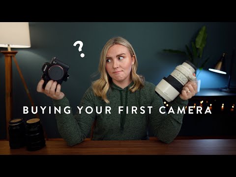
Choosing the Right Camera for your Mapping Project Final

Показать описание
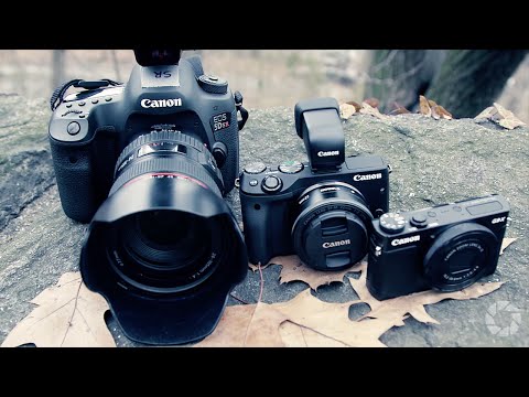
Aerial cameras come in many types and sizes, each optimized for acquisition with specific altitude ranges to ensure the highest quality imagery for mapping. They can be single sensor systems or multi sensors systems, and there are many additional components that have been developed to enhance the quality of their output such as IMUs, gyro stabilized mounts and image motion compensators.
Hosted by Eric Andelin of SimActive with Guest Speaker Patrick McConnell, President of ClearSkies Geomatics
Hosted by Eric Andelin of SimActive with Guest Speaker Patrick McConnell, President of ClearSkies Geomatics
 0:25:37
 0:10:18
 0:08:02
 0:08:04
 0:13:12
 0:06:23
 0:06:09
 0:02:19
 0:04:59
 0:03:15
 0:09:34
 0:01:21
 0:06:04
 0:18:54
 0:11:46
 0:06:50
 0:04:09
 0:01:33
 0:04:32
 0:08:06
 0:06:55
 0:08:22
 0:13:19
 0:06:24