filmov
tv
How Topography Boosted Western North Carolina's Flood Danger

Показать описание
Here's my Sustain What conversation seeking lessons from the catastrophic inland flooding triggered when Hurricane Helene's remnants collided with the Appalachian Mountains. My guest is David McConville, a data visualizer and risk communicator who grew up in the regions hammered by Helene and lived and worked in Asheville for many years trying to use technology, including a visualization dome, to convey the flood threat in the corrugated hills and hollows there.
We talk about a visualization he created 15 years ago to help Asheville citizens, agencies and elected officials forge paths from vulnerability to resilience.
He now lives in California, where he continues to do similar work, including a project aiming to prepare Los Angeles for the inevitable arrival of a Pacific-spawned extreme atmospheric river.
His company is Spherical Studio:
 0:28:42
How Topography Boosted Western North Carolina's Flood Danger
 0:10:57
Why Do 80% Of Japanese Live South Of This Line
 0:03:28
Black Desert Online Knowledge Guide | Topography | Western Balenos
 0:10:09
I Built A Crowdsourced Map of the Cellular Networks!
 0:13:10
Countries That Temporarily Didn't Exist (But Then Came Back)
 0:12:55
Why So Few People Live In This HUGE Area In The Middle Of Spain
 0:09:47
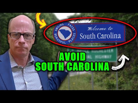
AVOID MOVING TO SOUTH CAROLINA - Unless You Can Deal With These 10 Facts | Living in South Carolina
 0:09:56
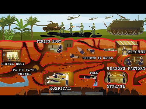
Life Inside the Vietcong Tunnels (Cross Section)
 0:09:45
How To Find The BEST Bear Hunting Spot
 0:14:41
Why Every Former Yugoslavia Country Is Shrinking Except For Slovenia
 0:14:54
Why So Few Canadians Live In Saskatchewan As Compared To Alberta
 0:12:44
How Portugal Is Slowly Building A Megalopolis
 0:15:40
How Newfoundland And Labrador Lost Their Independence
 0:43:20
Topography restrictions in PV plant modeling | Webinar by RatedPower
 0:16:04
Why the Mediterranean Sea is so damn Important
 0:45:44
Ben Habib - Reading the landscape: Topography, infrastructure networks and governance in North Kore
 0:31:08
Impact of topography analysis for efficient PV plant design | Webinar by RatedPower
 0:18:36
The Big Bad News about the Alpine Fault
 0:56:02
Open Topography: Enabling Access to High Resolution Elevation Data
 0:04:58
The Science of Your Sense of Direction
 0:49:54
The economics of imperialism: Can the Global South resist Western exploitation? Can China help?
 0:10:12
How Russia's Geography is its Own Worst Enemy
 1:19:31
Supporting Pollinators on Rangelands in the Great Plains and Western US
 0:59:55
The Ghosts of the Green Sahara
Комментарии