filmov
tv
Dot3D for iOS LiDAR - Large Outdoor Infrastructure Scan

Показать описание
Thank you to netch87 (on Twitter) for sharing this incredibly impressive, large #Dot3D for iOS outdoor #LiDAR scan! Shown in Autodesk ReCap.
#ios #3dsurvey #Infrastructure #laserscanning #pointcloud #autodesk #surveyor
#ios #3dsurvey #Infrastructure #laserscanning #pointcloud #autodesk #surveyor
 0:00:31
Dot3D for iOS LiDAR: Great for outdoor scanning, even on metal and glass!
 0:01:12
Dot3D for iOS LiDAR: Outdoor Stair Demo
 0:00:34
How to Download Dot3D for iOS LiDAR from the App Store
 0:05:12
Apple LiDAR DotProduct iOS Scan App testing! 3D-Scanning with iPad
 0:01:39
Dot3D for iOS LiDAR - Residential Construction Sample Scan
 0:00:48
Dot3D for iOS LiDAR - Meshed and Modelled in PointFuse Pro!
 0:00:42
Dot3D for iOS LiDAR - Launch Trailer
 0:00:31
Dot3D - The #LiDAR 3D scanning app that actually delivers. Built by professionals for professionals.
 0:01:33
Dot3D for iOS LiDAR Data in Twinmotion via PointFuse
 0:03:32
Dot3D for iOS LiDAR: Scale & Survey Targeting
 0:00:42
Japanese Garden | Scanned with Dot3D for iOS LiDAR
 0:15:13
Dot3D for iOS LiDAR: Beta Tutorial
 0:00:14
Dot3D for iOS - Large Courtyard (12K square feet)
 0:00:58
Testing the Einstar 3D Scanner vs iPhone Lidar pt1
 0:12:49
Point Clouds, 3D Meshes and Dot3D iOS LiDAR scanning App review
 0:00:43
Dot3D for iOS LiDAR - Large Outdoor Infrastructure Scan
 0:00:34
Dot3D for iOS Sample Scan - Building Exterior
 0:28:06
Dot3D Tutorial | Accurate 3D Laser Scanning with Dot3D 5.0 & Up (for iOS, Windows & Android)
 0:03:01
Dot3D Tutorial: How to Transfer Scan Data from iOS to Windows via USB
 0:14:54
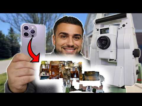
High Accuracy Indoor Survey Mapping - iPhone LiDAR
 0:00:25
Dot3D Flashlight | 3D Scanning in the Dark with iOS LiDAR
 1:27:41
Ready for Liftoff: Dot3D for iOS LiDAR!
 0:00:33
Covered bridge, scanned with #Dot3D for iOS #LiDAR. 3:30 min scan time, 3 min optimization time
 0:04:01
Accuracy test of 4 Apple LiDAR 3D scanning apps: * Polycam * 3D Scanner App * Scaniverse * Metascan
Комментарии