filmov
tv
WebMapping application using PostGIS, Geoserver and GeoExt - Part 3

Показать описание
This is the third video about creating a WebMapping application using PostGIS, Geoserver and GeoExt.
In this tutorial, you will learn how to create a webmapping application that displays published data using GeoExt. With GeoExt, you can start from nothing and have a rich mapping application in seconds.
To start with GeoExt, we are going to use a basic example from GeoExt homepage. This example shows how to design the application interface, display WMS data in the map and add a dynamic legend.
The user programming requirements are HTML and JavaScript.
 0:18:37
WebMapping application using PostGIS, Geoserver and GeoExt - Part 1
 0:21:52
WebMapping application using PostGIS, Geoserver and GeoExt - Part 3
 0:13:39
WebMapping application using PostGIS, Geoserver and GeoExt - Part 2
 0:16:09
Building a simple web mapping application using PostGIS, GeoServer & OpenLayers
 0:19:42
|| WebMapping through PostGIS, GeoServer and Geo Extention || WebGis Tutorial by Ravi Shrestha
 0:13:22
Developing your First Web Mapping Application.
 0:04:58
How to Connect PostgreSQL Database (PostGIS) with Geoserver || Vector Data Publish || GIS |GeoServer
 0:14:42
Mastering Geospatial Data Management and Visualization with PostGIS, GeoServer, and QGIS
 0:04:41
GeoServer - Connect to PostGIS from GeoServer and Publish layer
 0:35:30
Enterprise GIS Portal Developed Using PostgreSQL PostGIS, OpenaLayers, GeoServer
 0:09:10
Installing GeoServer and PostGIS and Creating basic WMS web map
 0:03:09
PostGis,OpenLayers and GeoServer
 0:02:31
GIS: Using PostGIS, GeoServer & OpenLayers for simple web mapping application?
 0:32:42
Web mapping: PostGIS + Geoserver + QGis + Leaflet
 0:02:05
Web Based GIS Application using PostGIS, Geoserver and Tomcat Web Service
 3:31:51
Building Land surveying app using Openlayers + PostGIS + Geoserver + PHP/AJAX from scratch
 0:13:25
GETTING STARTED WITH POSTGIS , GEOSERVER AND OPENLAYERS
 0:05:40
GeoServer connects with PostgreSQL
 0:35:22
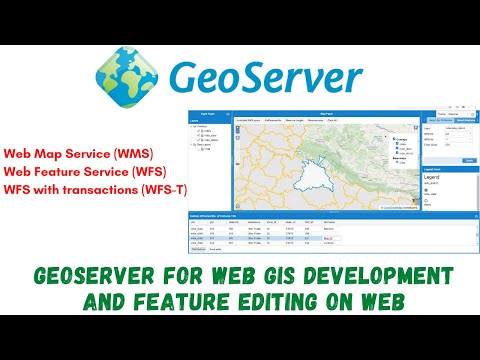
Geoserver for WebGIS development (WMS, WFS, WFS-T Service), Feature editing on web.
 0:04:42
AflatoxinGIS Geoserver - Openlayers3 - PostGIS
 0:01:30
Formation en Web Mapping Open Source avec PostgreSQL & PostGIS, GeoServer et OpenLayers
 0:30:46
GeoServer with leaflet | Application of GeoServer on web-GIS
 0:11:17
Importing Shapefiles into PostgreSQL and publishing WMS services using GeoServer.
 0:01:30
Développer un WEBSIG avec QGIS, POSTGRES/POSTGIS, GEOSERVER ET OPENLAYERS
Комментарии