filmov
tv
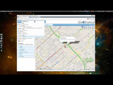
Open Source Web GIS Geoportal using Leaflet, PHP, Jquery, SQL server

Показать описание
WhatsApp
+91 98770 14844
Create a responsive Mobile compatible web-mapping app in minutes, with support for all major #GIS data types, and advanced functionality built-in #Leaflet, #PHP, #Jquery, #SQL server
Supports #GeoServer: Use #WMS and #WFS layers, including styling and advanced properties.
Identify, #Query, Bookmarks, sharing, and many more features.
Location Tracking.
Google Search option.
History
Markercluster Option.
Pop up
Open Source
 0:05:08
Open Source Web GIS Geoportal using Leaflet, PHP, Jquery, SQL server
 0:08:13
Geographic Information Systems:Open Source Web GIS Geoportal using Leaflet, PHP, Jquery, SQL server.
 0:00:55
GeoPortal Tutorial
 0:13:22
Developing your First Web Mapping Application.
 0:35:30
Enterprise GIS Portal Developed Using PostgreSQL PostGIS, OpenaLayers, GeoServer
 0:04:32
Open Source WEB GIS - OS Geo
 0:01:04
3d web gis open source for precipitation
 1:01:56
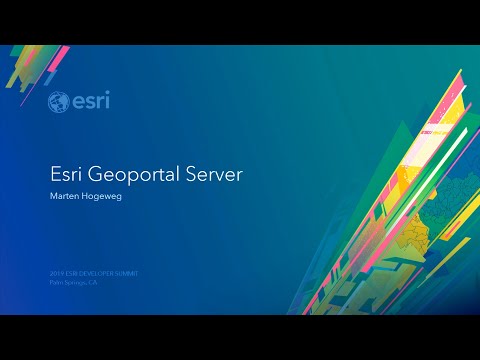
Esri's Open Source GeoPortal Server: Building Discovery Solutions
 0:11:20
GeoPortal 2.0 Tutorial
 0:00:29
Searching your Web GIS resources
 0:27:01
WebGIS development using Node.js and Openlayers
 1:09:39
Esri's Open Source GeoPortal Server: Building Discovery Solutions
 0:33:30
Installation and setup of Enterprise GIS portal
 1:38:36
Open Source Web-GIS Development Roadmap | GIS user to Web-GIS Developer Journey | GeoDev
 0:50:26
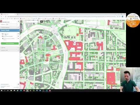
2022 - bielefeldGEOCLIENT - der Bielefelder Open Source Web-GIS Client
 0:25:29
2021 - Realisierung von konfigurierbaren WebGIS-Layern mit Opensource Software – ein Erfahrungsberic...
 1:00:11
Esri's Open Source GeoPortal Server: Building Discovery Solutions
 0:01:22
GIS SERIES - EXPORT RASTER LAYERS FROM GEOPORTAL
 0:40:20
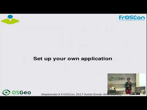
2017 Create WebMapping Applications with the Geoportal Framework Mapbender
 0:32:08
FOSS4G - Provita Geoportal: a serverless GIS portal using the Jamstack
 1:04:07
Open Source GIS from Field to Server: The Atlantic Edition
 0:11:30
Webgis open source: parte2 download e installazione
 0:00:58
BTAA Geoportal - Style a Map in ArcGIS Online
 0:02:09
Creating Data With WebGIS
Комментарии