filmov
tv
The March 2, 2012, Tornado Outbreak: A Case Study

Показать описание
In-depth meteorological discussion of one of the more prolific early-season tornado outbreaks in recent years: the March 2, 2012, outbreak that included the Henryville, IN, EF-4. In this video, we'll do a deep dive into the meteorology behind the Henryville supercell, including why this area within the broad severe risk area ended up being the most favorable for significant tornadoes. We'll also discuss additional supercells that spawned killer tornadoes that ravaged West Liberty and Salyersville, KY, including how they were able to continue to produce significant tornadoes despite outrunning the warm sector.
Chapters:
0:00 Introduction
4:57 Meteorological discussion
38:03 Henryville supercell/tornado progression
41:49 Discussion of West Liberty and Salyersville, KY, tornadoes
51:18 Summary
Resources:
Chapters:
0:00 Introduction
4:57 Meteorological discussion
38:03 Henryville supercell/tornado progression
41:49 Discussion of West Liberty and Salyersville, KY, tornadoes
51:18 Summary
Resources:
 0:52:05
The March 2, 2012, Tornado Outbreak: A Case Study
 0:16:24
Henryville, IN EF4 Tornado March 2, 2012
 0:13:01
The March 2 2012 Henryville EF4: A Retrospective
 0:02:40
Remembering the deadly March 2, 2012 tornado outbreak
 0:02:29
11 years later: Looking back on the March 2, 2012 tornado outbreak
 0:03:34
TImeline of March 2 tornadoes
![[ORIGINAL] - Emergency](https://i.ytimg.com/vi/bNLUP4nDJGQ/hqdefault.jpg) 0:01:59
0:01:59
[ORIGINAL] - Emergency Alert System - Tornado Warning for Knoxville, TN (March 2, 2012)
 2:53:42
FULL March 2nd 2012 Tornado Coverage - WYMT
 0:22:32
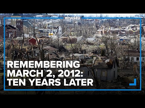
Remembering March 2, 2012: Ten Years Later | Full Special
 0:01:35
Archive footage: March 2 tornado outbreak
 0:02:03
This day in history: 2012 Henryville tornado
 0:02:45
10 years later, Kentucky counties remember March 2, 2012 tornadoes
 0:02:16
Tornado Outbreak - March 2, 2012 - TVN beta webisode
 1:56:27
March 2, 2012 Tornado Coverage from WLEX-TV Lexington, Kentucky Part 1
 0:25:31
Louisville, Kentucky Tornado Warning: March 2, 2012
 0:16:34
March 2nd, 2012 Henryville, IN EF4 Tornado - All Footage
 0:00:19
Eastern Kentucky Tornadoes on Radar - March 2, 2012
 0:11:24
Looking back on March 2nd 2012 with Some of the Local Louisville Weather Media
 0:00:41
Storm Timelapse March 2 2012 Louisville, Kentucky
 0:05:38
WDRB Special: Henryville Tornado March 2, 2012
 0:04:41
HD Tornado Outbreak - Illinois & Indiana Storm Chase March 2nd 2012
 0:02:26
10 years later: Henryville, Indiana remembers deadly 2012 tornado that devastated community
 0:01:08
OFFICIAL HENRYVILLE TORNADO!! Shot by Rhett Adams
 0:07:53
March 2, 2012, Henryville, Indiana, Tornado in Its Early Stages
Комментарии