filmov
tv
A year of weather 2022

Показать описание
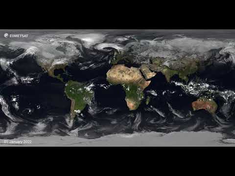
It's that time of year again where we present to you a whole year's worth of weather!
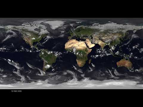
This annual visualisation rounds up the planet’s weather in just under 10 minutes. EUMETSAT’s Training Manager, Mark Higgins, talks you through just what exactly can be seen from space.
We have highlighted the major storms across the globe with the major storms labelled from light yellow to red, depending on their intensity.
We'd like to thank our international partners for their help in producing this video. This high resolution visualisation was produced by EUMETSAT’s digital media team and is composed of cloud imagery provided by Météo-France, which is superimposed over NASA's 'Blue Marble Next Generation' ground maps and changes with the seasons.
The visualisation includes imagery from the geostationary satellites of EUMETSAT, the National Ocean and Atmospheric Administration (NOAA) in the US, the China Meteorological Administration (CMA) and the Japan Meteorological Agency (JMA). Merging our data, we are able to get these very comprehensive views of the entire planet.
Subscribe for more weather from space!
Комментарии
 0:09:55
 0:09:49
 0:10:13
 0:05:07
 0:05:59
 0:05:02
 0:05:23
 0:05:32
 0:00:17
 0:10:09
 0:01:30
 0:09:49
 0:01:28
 0:03:05
 0:03:50
 0:02:01
 0:03:49
 0:03:30
 0:01:18
 0:07:06
 0:03:22
 0:12:13
 0:07:31
 0:03:21