filmov
tv
Extracting Multiple Coordinates from survey plans in AutoCAD || Converting notepad to Excel

Показать описание
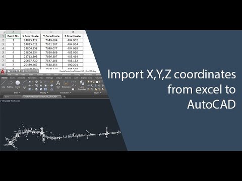
In this tutorial, you will learn how to easily extract multiple coordinates from survey plans in AutoCAD and transfer them to MS Excel. This step-by-step guide will walk you through the process of efficiently extracting and organizing important information from your survey plans. You will discover various techniques and tools within AutoCAD that allow you to accurately extract coordinates and save time on manual data entry. By learning how to efficiently transfer this data to MS Excel, you can streamline your workflow and improve the accuracy of your surveying projects. Whether you are a beginner or an experienced AutoCAD user, this tutorial will provide you with valuable insights and tips on how to extract multiple coordinates from survey plans with ease. Follow along and enhance your skills in data extraction and organization for efficient project management. Don't miss out on this comprehensive tutorial on extracting multiple coordinates from survey plans in AutoCAD to MS Excel. Improve your data management skills and optimize your surveying workflow today! Subscribe to this channel for more helpful tutorials and tips on AutoCAD and MS Excel.
if you find this video helpful please share and subscribe
#AutoCAD #MSExcel #SurveyPlans #coordinates #tutorial #CAD #design #engineering #dataextraction #mapping #technology #learnAutoCAD #learnMSExcel #drawing #software #tutorials #engineeringdesign #spatialdata #mappingsoftware #geospatial
Thank you ❤️
 0:08:46
 0:06:20
 0:01:42
 0:01:32
 0:07:05
 0:03:16
 0:01:49
 0:07:48
 0:04:15
 0:01:33
 0:08:21
 0:04:27
 0:02:03
 0:07:52
 0:04:22
 0:08:13
 0:12:30
 0:13:44
 0:01:08
 0:03:34
 0:02:29
 0:07:36
 0:11:26
 0:04:30