filmov
tv
Visualizing GPS data with Google Maps API based web application

Показать описание
The web application uses Google Maps API to visualize previous GPS tracks. It can be used with the data format of my previous logger and I made converter which also modifies Garmin GPS data format into a compatible form. The web application also contains real-time logging that can be used by any IoT device, which can send its GPS location as an HTTP GET request to a defined URL. Thus I can later use this application to log real-time locations when I get the new SIM800L module.
 0:02:42
Visualizing GPS data with Google Maps API based web application
 0:03:32
How to Visualize GPS Data in Google Maps : Social Media & Business
 0:00:10
Generate Static Google Map in Google Sheets
 0:01:05
Transportation data visualization with Google Map
 0:08:45
Maps Shortcuts: Large Data Geotemporal Visualizations with WebGL
 0:00:40
Visualize data on Google maps with GeoJSON or KML
 0:08:21
Import Latitude & Longitude Coordinates to Google Earth from CSV Excel file
 0:05:19
Beginners guide to - Visualizing Geomaps | Grafana
 0:05:47
📌 Relative Humidity Analysis in Google Earth Engine | ERA5-Land Climate Data | April 2024
 0:04:15
How Do GPS Coordinates Work?
 0:59:55
Google I/O 2011: Managing and visualizing your geospatial data with Fusion Tables
 0:00:33
Visualize your data on maps with data-driven styling
 0:04:18
Adding and visualizing Excel data in Google Map
 0:53:02
Google Geo for Good Summit 2021 | Visualizing data in Google Maps with deck.gl, BigQuery & CARTO
 0:54:14
Google I/O 2011: High Performance KML for Maps and Earth
 0:00:16
Titanic on Google Earth? 🌎
 0:10:02
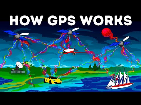
How GPS Works Today
 0:00:29
Visualize your entire trip in stunning 3D with Google Maps
 0:04:27
Visualizing Surfer 13 data in Google Earth
 0:03:06
How to Visualize Crime Data on Google My Maps (EASY)
 0:00:28
Importing Data in Google Earth Pro Viewshed Analysis
 0:09:03
How to visualize Google Sheets data in Google Maps
 0:10:08
Visualize Location📍Data from Google Sheet or Excel or CSV | Google My Maps Tutorial
 0:06:20
Google Earth Hacks: How to Find (and Use) GPS Coordinates
Комментарии