filmov
tv
Lidar Point Cloud - Ground Classification
Показать описание
Video demonstration using the Ground Classification tool in ArcGIS Pro 2.4
Esri Imagery & Remote Sensing
lidar
Esri
Imagery & Remote Sensing
Рекомендации по теме
0:00:27
Lidar Point Cloud - Ground Classification
0:05:30
Labeling Lidar Point Clouds for Object Detection
0:04:06
LiDAR Point Cloud Classification Tutorial | Mastering Post-Processing & Mapping Techniques
0:05:16
How to keep only ground points in your LIDAR using CloudCompare and the CSF filter
0:00:34
100% Automatic Point Cloud Classification with AI - Pointly Standard Classifier
0:13:50
Agisoft Metashape Merge LIDAR and Photogrammetry Point Clouds for 3D GIS and Orthorectification
0:00:25
Lidar Point Cloud - Classify by Height
0:00:26
Lidar Point Cloud - Classify by Feature
0:06:38
Where to find LiDAR data online? (USGS lidar point cloud in Equator)
0:19:58
Processing DJI L1 Point Cloud with TerraScan UAV and TerraModeler UAV
0:01:07
LiDAR Point Cloud Ground Classification(LiDAR Drone Survey India)
0:05:44
Trimble Business Center: How to - Creating a surface from scanned point cloud data
0:43:27
Cleaning a Point Cloud & Creating a Ground Surface
0:04:53
LiDAR Point Cloud To Revit Topography Tutorial
0:04:12
iTwin Capture Tutorial: Produce a Reality Mesh from LiDAR Point Clouds and Photos
0:23:50
Adjusting Photogrammetric Point Cloud to LiDAR data using TerraScan
0:55:25
Learn LiDAR data processing in 60 minutes | WEBINAR
0:05:03
Ground Extraction (Terrain) from Point Cloud
0:05:01
Processing 10 removing off ground points the Cloud Compare CSF Filter
0:00:35
LiDAR classification made easy with the LiDAR Module
0:00:12
View ground-only LiDAR points for your Site in Equator
0:04:49
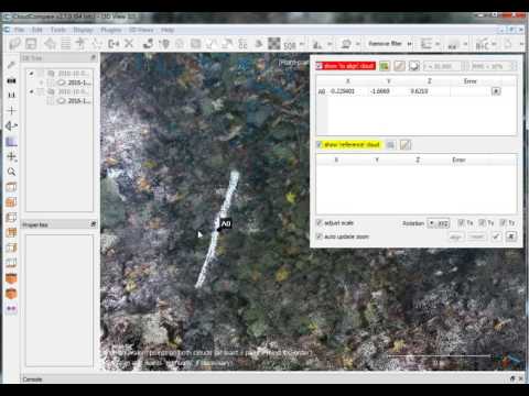
How do align a point cloud with GCPs in CloudCompare?
0:32:41
Terrain Model from LiDAR Point Cloud Data in OpenRoads Designer
0:04:44
LIDAR Point Clouds Editing and Manipulation in ArcGIS Pro

 0:00:27
 0:05:30
 0:04:06
 0:05:16
 0:00:34
 0:13:50
 0:00:25
 0:00:26
 0:06:38
 0:19:58
 0:01:07
 0:05:44
 0:43:27
 0:04:53
 0:04:12
 0:23:50
 0:55:25
 0:05:03
 0:05:01
 0:00:35
 0:00:12
 0:04:49
 0:32:41
 0:04:44