filmov
tv
Introduction to Compass Cave Survey and Mapping Software by Ben Hutchins

Показать описание
Ben Hutchins walks through how to begin a map project, insert survey data, and create a cave map using Compass.
COMPASS is a cave mapping software package designed to edit, process, analyze and view cave survey data using any Windows-based computer. The programs in the system allow you to enter cave data, revise the data, generate statistics on the cave, close loops, view plots from any angle and finally, print finished quality plots on almost any printer or plotter.
COMPASS is a cave mapping software package designed to edit, process, analyze and view cave survey data using any Windows-based computer. The programs in the system allow you to enter cave data, revise the data, generate statistics on the cave, close loops, view plots from any angle and finally, print finished quality plots on almost any printer or plotter.
 0:48:54
Introduction to Compass Cave Survey and Mapping Software by Ben Hutchins
 1:07:43
Overview of COMPASS Cave Survey Software
 0:13:24
Cave Survey - Sighting Instruments User Guide
 0:03:54
Setting Up Your Cave Files
 0:07:29
Cave Survey Efficiency - 5 Tips
 0:35:20
Cave Survey - Sketching
 0:10:19
Electronic Cave Survey - An Overview
 0:04:38
Cave Survey - Point Person
 0:10:11
Electronic Cave Survey with TopoDroid - Survey Data Functions
 1:12:18
Georeferencing Cave Maps & Survey Data
 0:05:01
Walls Cave Survey Software on a Mac
 0:00:15
3D cave mapping
 0:29:26
Electronic Cave Survey with Qave
 0:06:44
Cave Survey - Instrument Person
 0:03:53
Compass Surveying Part II
 1:28:28
Intro to Cave Survey Part 1: The Process
 0:09:43
3d compass for Google map idea
 0:33:21
Breakout -- Cave Survey Visualization
 0:00:21
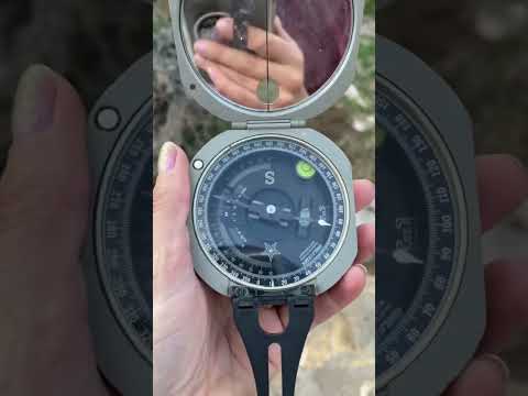
Compass #geology #geologist #dip #strike #navigation #north #measurement #study #field #compass
 0:05:48
BRIC4 Survey Tool: Calibration video tutorial
 0:00:21
Brunton Compass, what it used for  #geology #rocks #Structure #Fieldwork 
 0:03:35
How to Measure Distance With A Compass
 0:03:52
Investigating a cave system with 2D and 3D GIS mapping tools
 0:00:15
Simple question 👀
Комментарии