filmov
tv
How to Import GIS data (Shapefiles) to PostGIS, running in a docker container

Показать описание
This is part 4 of the video series on Intro to Spatial Analysis with GeoDjango, Docker, Postgres and Nginx. This video is all about how to import GIS data (Shapefiles) to PostGIS running in a docker container.
A Shapefile is a simple, nontopological format for storing the geometric location and attribute information of geographic features. Geographic features in a shapefile can be represented by points, lines, or polygons (areas).
Docker shall be used to deliver our Geo-application in packages called containers through the use of Dockerfiles and docker-compose.
Postgres shall be used wih PostGIS, which is a spatial database extender for PostgreSQL object-relational database.
Our final aim is to build a GEO-enabled REST API from scratch with some admin boundary and hospital data from Rwanda and carrying out some basic spatial analysis.
Geodjango makes it as easy as possible to build GIS Web applications and harness the power of spatially enabled data.
Nginx shall be used as a reverse proxy/webserver to interface with our API server that will serve GEOJSON.
************************************************************************
Timestamps
************************************************************************
Intro: (0:00)
Create Django apps: (0:26)
Using GDAL to inspect Shapefiles: (2:22)
How to use GeoDjango LayerMapping utility: (10:38)
Auto Generate GeoDjango LayerMapping and models with ogrinspect: (18:30)
*************************************************************************
*************************************************************************
🎻 Where I get my background music and effects 🕺🏽
*************************************************************************
🎥 Social Media
*************************************************************************
👨🏽💻 Source Code 👩🏼💻
🔊 License:
🔻
"Juan Sánchez - Now The Silence" is under a Creative Commons (cc-by) license
🔺
 0:01:43
how to import excel data into arcgis quickly
 0:02:15
InfraWorks 2020 | How to: Importing GIS Data
 0:03:37
Import GIS data into Google Earth
 0:02:05
Importing GIS Data
 0:08:50
How to download and import shapefile/vector GIS Data for any country – Free online sources
 0:04:31
Tutorial: How to Import GIS Data (Shapefiles) | Civil 3D
 0:05:32
Importing GIS shapefiles into Google Earth Engine
 0:02:21
How To Import GIS Shapefiles in Google Earth Pro
 0:31:44
Data Management & Processing Systems | GIS | Data Management|Processing Systems |Q&A |GIS MC...
 0:33:49
Webinar: Importing GIS Data Into AutoCAD Civil 3D
 0:38:14
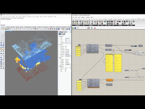
Grasshopper 13: Importing GIS Data (Shapefiles) into Rhino+Grasshopper with Urbano
 0:01:40
GIS Essentials: Importing, Selecting, and Managing Data
 0:02:29
CIVIL DESIGNER FAQ - Importing GIS Data (Part 1)
 0:04:30
Importing Excel Coordinates to ArcMap and Plotting
 0:03:42
Importing GIS Shape (SHP) Files with MAPIMPORT in Civil 3D 2023
 0:02:06
CIVIL DESIGNER FAQ - Importing GIS Data (Part 2)
 0:05:56
Importing GIS Data and 2D Grids
 0:02:20
Export Google Earth Data to GIS
 0:06:25
How to import GIS contour data into Civil3D
 0:01:46
ArcGIS# How to export GIS map to AutoCAD
 0:01:49
🔴Part 15/15 | AutoCAD Civil 3D | Import GIS Data
 0:04:17
Import GIS content into Autodesk InfraWorks
 0:03:48
How to Use the Esri Data Interoperability Extension to Import GIS Data
 0:03:12
How To Import GIS Shapefiles in Google Earth Pro
Комментарии