filmov
tv
How to Create Longitudinal Profiles in ArcGIS Pro

Показать описание
In this tutorial, we go over the steps of creating a cross sectional elevation profile in ArcGIS Pro.
Creating longitudinal profiles using ArcGIS Pro's exploratory 3D analysis tools is essential for visualizing and understanding elevation changes along linear features such as rivers or roads. These profiles are invaluable in various fields, including hydrology, geomorphology, and civil engineering, as they help assess river channel stability, design infrastructure, and monitor environmental changes. Longitudinal profiles support hydrological studies by analyzing river gradients and sediment transport, aid environmental management by tracking erosion patterns, and assist in civil engineering projects by informing the planning and design of roadways and pipelines. ArcGIS Pro's powerful 3D visualization capabilities enhance these analyses by allowing users to interactively explore elevation changes, customize profiles with different styles and symbology, and overlay additional data for comprehensive context. By utilizing these advanced visualization tools, users can significantly improve their spatial analysis and decision-making processes.
Creating longitudinal profiles using ArcGIS Pro's exploratory 3D analysis tools is essential for visualizing and understanding elevation changes along linear features such as rivers or roads. These profiles are invaluable in various fields, including hydrology, geomorphology, and civil engineering, as they help assess river channel stability, design infrastructure, and monitor environmental changes. Longitudinal profiles support hydrological studies by analyzing river gradients and sediment transport, aid environmental management by tracking erosion patterns, and assist in civil engineering projects by informing the planning and design of roadways and pipelines. ArcGIS Pro's powerful 3D visualization capabilities enhance these analyses by allowing users to interactively explore elevation changes, customize profiles with different styles and symbology, and overlay additional data for comprehensive context. By utilizing these advanced visualization tools, users can significantly improve their spatial analysis and decision-making processes.
 0:13:28
How to Create Longitudinal Profiles in ArcGIS Pro
 0:03:51
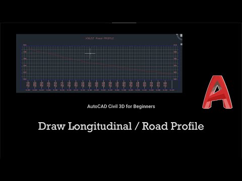
How to draw a Longitudinal or Road Profile on AutoCAD Civil 3D |Beginners |Geomatic Engineering
 0:07:20
Creating Longitudinal Profile
 0:03:39
HOW TO CREATE PROFILE || OR LONGITUDINAL SECTION || IN EXCEL ||
 0:02:50
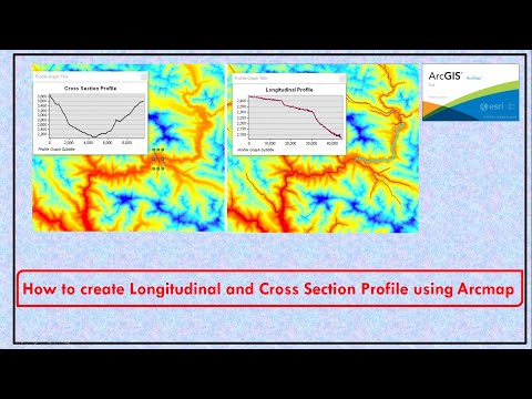
How to create Longitudinal and Cross Section Profile using Arcmap
 0:07:09
Creating longitudinal profiles in ArcGIS Pro
 0:03:29
Create longitudinal river profiles using native QGIS tools
 0:08:31
How I Create Longitudinal Profile || #routesurvey || #autocadlongitudinalprofile
 0:05:21
Create an Alignment and Profile AutoCAD Civil 3D Autodesk
 0:09:25
How I Create Longitudinal Profile On AutoCAD || #autolisp #autocad #civil3d
 0:10:43
How I Create Longitudinal Profile automatically || Road Design tutorial for Beginners || Part1
 0:02:13
#20 QGIS - How to create longitudinal profiles at a DEM Layer
 0:02:57
profile leveling surveying animation |longitudinal sectioning | #civil #survey
 0:04:57
How to create River longitudinal profile
 0:29:35
CIVIL 3D HOW TO CREATE THE LONGITUDINAL PROFILE
 0:08:32
How to Make Road Longitudinal Profile in AutoCAD ll Engr Apu Khan
 0:07:15
How to draw L-profile on autocad from excel and calculate cut fill area ?
 0:07:55
Creating Longitudinal section (Surface Profile) and Profiles Autodesk Civil 3D
 0:03:59
AUTOCAD CIVIL 3D How to create longitudinal profile Malayalam
 0:10:09
Drawing a Longitudinal Profile from a contour map
 0:08:36
How to Generate Elevation Profile in Google Earth Pro || River Longitudinal Profile ||
 0:08:50
Creating Best Fit Profiles using Civil 3D
 0:09:38
Creating a Longitudinal Profile with AutoLISP: A Pawn Stars Guide
 0:07:04
Longitudinal River Elevation Profiles in QGIS
Комментарии