filmov
tv
ArcGIS Pro - Basic Intro to the ArcGIS Data Interoperability Extension

Показать описание
Video #68 (incorrectly marked as #67 in the video!)
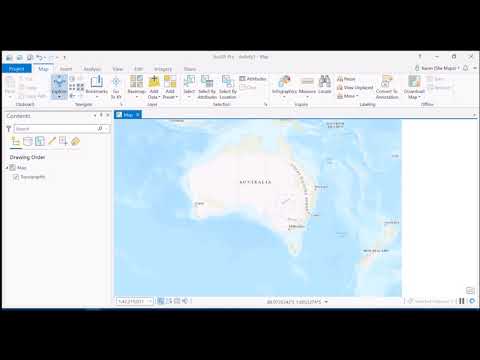
This video is a brief overview of how the Data Interoperability Extension works. The extension, which is an additional license, allows the reading and writing of a large number of spatial formats. It uses FME from Safe Software and so this little tutorial will show that FME Desktop Workbench environment.
In the video:
*I add a new tool to the project toolbox - a Spatial ETL tool
*Use FME Workbench to create a new tool that reads a GeoRSS feed from BGS (UK earthquakes)
*Save it to the project
*Run the tool - to create a shapefile - as a standard geoprocessing tool
*Read the output shapefile into the project
*Click on some earthquake points to show the GeoRSS data
This is not a FME tutorial! I don't tidy up the workbench e.g. set coordsys, check for null geometry - I just leave the workbench as it was created by FME. A single transformer is used - GeometryFilter - but thats not actually necessary as we know we will be reading point features only. But it is a good starter to get you going with the ArcGIS extension i.e. FME
 0:10:10
Getting Started with ArcGIS Pro
 0:05:35
Introducing ArcGIS Pro
 0:09:39
A Complete Beginner's Guide to ArcGIS Pro: Part 1
 0:10:03
ArcGIS Pro Beginner's Guide: Getting Started
 0:57:06
ArcGIS Pro Basics for beginners | ArcGIS Mastery
 1:19:19
ArcGIS Pro Complete Beginner's Tutorial - ArcGIS Pro Full Course
 0:09:57
Introduction to ArcGIS Pro
 0:25:38
ArcPro 1 Introduction to ArcGIS Pro, Georeferencing and UTM Projection, Absolute beginner guideline
 0:02:49
What is ArcGIS?
 1:00:57
A Complete Beginner's Guide to ArcGIS Desktop (Part 1)
 0:09:51
ArcGIS Pro - Basic Intro to the ArcGIS Data Interoperability Extension
 0:05:56
Getting Started with Model Builder in ArcGIS Pro
 0:13:21
Quick & Easy ArcMap to ArcGIS Pro: First Steps to Learn the Basics
 0:57:45
Introducing ArcGIS Pro Webinar Recording
 0:07:41
Create a Project in ArcGIS Pro
 0:09:00
ArcGIS Pro Animation Overview
 0:09:49
Tutorial 1: ArcGIS Basic Tools for Beginners - Introduction
 0:03:35
Three Minutes to Your First Python Script
 0:07:44
Navigate maps and scenes in ArcGIS Pro
 0:14:54
Intro to ArcGIS Pro for Oil and Gas
 0:15:31
Geoprocessing and Automation in ArcGIS Pro, Lecture 1: Basic Geoprocessing
 1:59:53
ArcPro Basics: A beginner's guide to Esri ArcGIS Pro (workshop recording)
 0:17:08
Getting Started to Arc Python Windows in ArcGIS Pro
 0:11:59
Creating 3D Scenes and basic 3D editing in ArcGIS Pro
Комментарии