filmov
tv
How to Perform Hydrology Analysis and Flood Risk Mapping in ArcGIS? A Complete Tutorial.

Показать описание
By: Dr. Abe Mollalo
00:00 Purpose of the lab
01:09 Load DEM/Slope, Landcover, and precipitation data
07:41 Hillshade/shaded relief map
10:39 Hydrology Analysis (Fill, Flow Direction, Flow Accumulation, Extract Streams)
24:28 Proximity to streams
26:07 Reclassify all criteria (rate/score all layers)
36:17 Generate Flood Risk Map: Combine layers based on given weights
Site selection in GIS (Raster overlay)
Download the data used in this video tutorial:
 1:35:45
How to Perform Hydrology Analysis in ArcMap: A Step-by-Step Guide
 0:42:06
How to Perform Hydrology Analysis and Flood Risk Mapping in ArcGIS? A Complete Tutorial.
 0:55:30
Hydrological modeling in ArcGIS / ArcMap
 0:05:44
Hydrology: Watershed Delineation Example
 0:14:30
Hydrology Analysis by Using Dem Data in ArcGIS
 0:34:07
AR&R2016: Hydrology in Practice
 0:08:03
Qgis hydrology analysis
 0:15:36
Hydrology
 0:26:35
Machine Learning Predicts Floods and Landslides [2024] | AI Project
 1:08:27
Hydrology - Hydrologic Design and Risk Analysis
 0:18:45
GIS Module12: Hydrology
 0:16:17
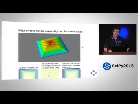
Global Hydrology Analysis Using Python | SciPy 2015 | Mattheus Ueckermann
 0:14:02
The Bizarre Paths of Groundwater Around Structures
 0:12:02
Hydrology - Final Exam Review
 0:12:35
Basic Hydrology Course Part 1 | Creating hydrologic models of small watersheds
 0:00:58
How to Use Basin Tool (Hydrology) in ArcGIS Pro #arcgispro #gis #map #arcmap
 0:09:33
Delineate watershed area in QGIS || Delineate catchment area in QGIS
 0:07:52
Watershed Delineation in ArcGIS | How to create Drainage Map
 0:00:53
Introduction to Energy Budget Equation #shorts #civilengineering #hydrology
 0:00:57
Introduction to Current Meters #shorts #civilengineering #hydrology #runoff #streamflow
 0:00:59
Determination of rating curve parameter Cr and beta #shorts #civilengineering #hydrology #runoff
 0:00:34
Introduction to Kostiakov Equation #shorts #civilengineering #hydrology
 0:00:51
Dalton Type Equation for Evaporation Estimation #shorts #civilengineering #hydrology
 0:00:56
What is the water year? #Shorts #Hydrology #Geography
Комментарии