filmov
tv
GIS for Location Intelligence
Показать описание
This webinar is the first in a series of presentations aiming to promote the use of a cloud based GIS to improve cross functional collaboration, transparency and workflow management within organisations.
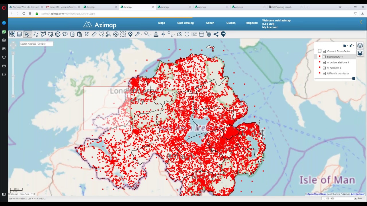
During the webinar, we will demonstrate how to import, digitise, analyse and disseminate location data using Azimap GIS.
Webinar Objectives
• To provide delegates with an understanding of Azimap GIS including its strengths and limitations
• Introduce core functionality of Azimap GIS
• To demonstrate how to import, manipulate, analyse, interpret, manage and disseminate information to your target audience
• Showcase real-world example of how Azimap is being used
Learning Outcomes
• The process / workflow associated to the importing of spatial files (shape, spatial csv, tab, KML or raster)
• Digitising of feature information
• How to split, merge and join polygons
• Using the spatial analysis tool to digitise / redigitise information
• How to use the map styler to create meaningful symbology for your data
• Using the feedback tool to promote citizen reporting and cross functional collaboration
• How to use the multiple sharing and embedding options to support the dissemination of information
• How to create print ready copies of maps
Throughout the webinar, we encourage attendees to ask questions. These will be addressed at the end of the session.
Duration: 1 Hour
 0:03:28
 0:44:37
 0:02:47
 0:00:41
 0:02:12
 0:04:54
 0:02:19
 0:00:31
 2:51:40
 0:00:12
 0:29:52
 0:03:00
 0:49:30
 0:14:15
 0:32:31
 0:02:10
 0:01:50
 0:58:14
 0:35:31
 0:02:03
 0:55:05
 0:05:11
 0:05:38
 0:01:19