filmov
tv
Все публикации
0:22:29
How to Download Chlorophyll a (Chl-a) and Sea surface temperature (SST)/ Analysis/ Aqua MODIS/SeaDas
0:08:39
Sediment Transport Index in Arc GIS | STI
0:06:47
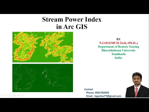
Stream Power Index in Arc GIS
0:05:22
Topographic Roughness Index | Topographic Ruggedness Index | Arc GIS
0:14:31
Topographic Wetness Index | Compound Topographic Index | Arc GIS
0:15:10
Location Map Preparation in Arc GIS | Layout Preparation
0:11:50
Arc GIS Model Builder for Automatic Drainage Extraction| Model Builder
0:08:01
Cyclone Tracks Download for India/ e Atlas/ 1891 to 2020
0:03:06
Latitude and Longitude
0:15:09
ArcGIS Attribute table Tricks for Easy Mapping
0:20:01
Shoreline Change Analysis/Prediction of 2030 and 2040 shoreline/DSAS
0:20:24
Landuse/Land cover change analysis using Landsat Data
0:08:11
Visual Image Interpretation Keys in Remote Sensing
0:02:21
Yaas Cyclone latest Update/Land Fall/ Current Movement
0:22:37
Flood Susceptibility Mapping/Flood Prone areas Mapping/Flood Risk Zone Mapping in Arc GIS
0:03:56
Tauktae Cyclone District Wise Rainfall Forecast- Kerala/Lakshadweep
0:02:24
Taukate Cyclone live update- Kerala/Lakshadweep
0:12:35
Shoreline Change Analysis Using DSAS in Arc GIS
0:10:17
Calculating Land Surface Temperature (LST) using Satellite imagery
0:05:05
Normalized Difference Moisture Index (NDMI) in Arc GIS
0:15:51
Geology/ Lithology Map Preparation in Arc GIS
0:04:19
ALOS Global Digital Surface Model Download
0:03:32
How to Create Normalize Difference Build-Up Index (NDBI) in Arc GIS
0:06:31
How to create Normalized Difference Water Index (NDWI) in Arc GIS
Вперёд
welcome to shbcf.ru
 0:22:29
 0:08:39
 0:06:47
 0:05:22
 0:14:31
 0:15:10
 0:11:50
 0:08:01
 0:03:06
 0:15:09
 0:20:01
 0:20:24
 0:08:11
 0:02:21
 0:22:37
 0:03:56
 0:02:24
 0:12:35
 0:10:17
 0:05:05
 0:15:51
 0:04:19
 0:03:32
 0:06:31