filmov
tv
Все публикации
0:01:02
GEE Application for river detecting centerline and measuring width
0:01:01
Climate Models
0:01:01
Model My Watershed
0:00:49
Mainstreaming climate change to culvert design Rainfall frequency assessment under changing climates
0:02:01
Cross-sections extraction and visualization ArcGIS Pro Tool
0:00:14
Flight Path Movie Using ERDAS 2022
0:02:26
ArcGIS Online signing up public account
0:02:25
Abney Level
0:03:00
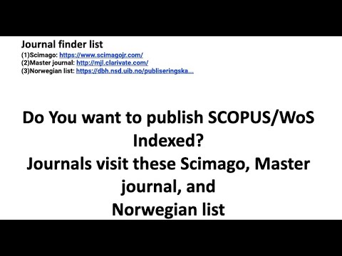
Do You want to publish SCOPUS/WoS Indexed Journals use Scimago, Master journal, Norwegian list
0:02:14
sen2r: Find, Download and Process Sentinel-2 Data
0:01:46
10 meter Global Land Cover Map by ESRI
0:03:06
Drones with Thermal Cameras
0:01:01
What is GIS?
0:01:22
Surveying
0:08:20
Land Information System (LIS)
0:03:57
Motivation
0:01:55
Leadership
0:03:36
Cadastral Surveying Procedure
0:01:01
Spatial Monitoring and Reporting Tool (SMART) for Sustainable Land Management
0:02:53
Legal Process of Parcel Fragmentation
0:02:59
Technical Requirements for Cadastral Survey
0:03:42
Spatial Data Analysis
Вперёд
visit shbcf.ru
 0:01:02
 0:01:01
 0:01:01
 0:00:49
 0:02:01
 0:00:14
 0:02:26
 0:02:25
 0:03:00
 0:02:14
 0:01:46
 0:03:06
 0:01:01
 0:01:22
 0:08:20
 0:03:57
 0:01:55
 0:03:36
 0:01:01
 0:02:53
 0:02:59
 0:03:42