filmov
tv
Все публикации
0:17:02
Ethics - Concept Module
0:15:47
Working with LiDAR Data in ArcGIS Pro
0:16:33
Educator Certification ATE - 2021
0:16:46
Statistics - Part I _ Basic Topics - Concept Module
0:14:09
Statistics - Part II _ Advanced Topics - Concept Module
0:10:46
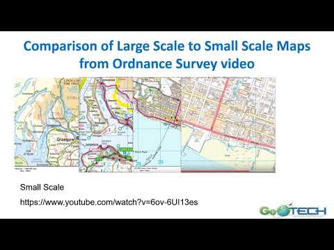
Scale - Concept Module
0:16:57
Remote Sensing - Concept Module
0:15:21
Map Projections - Concept Module
0:13:58
DATUM Geospatial - Concept Module
0:14:47
Data Visualization and MAUP - Concept Module
0:17:06
Data Management - Concept Module
0:14:59
Color - Concept Module
0:14:01
Hints and Tips for Preparing Excel and CSV Data Tables for Use in ArcGIS Pro - PART 2
0:33:04
Hints and Tips for Preparing Excel and CSV Data Tables for Use in ArcGIS Pro - PART 1
0:45:12
Creating a COVID 19 Dashboard Adam Dastrap
0:22:57
Working with the New Census Data Platform: An Introduction to Data.census.gov
0:21:10
Using LiDAR in Remote Sensing
0:14:39
UAV Image Processing in ArcGIS Pro
0:14:51
Georeferencing in ArcGIS Pro
0:25:05
Introduction to Remote Sensing
0:05:07
How to use Map Warper to Georeference Maps
0:04:15
How to use Georeferencer
0:01:31
Introduction to the GeoTech Remote Sensing Workshop
0:22:16
Image classification in ArcGIS Pro
Вперёд
 0:17:02
 0:15:47
 0:16:33
 0:16:46
 0:14:09
 0:10:46
 0:16:57
 0:15:21
 0:13:58
 0:14:47
 0:17:06
 0:14:59
 0:14:01
 0:33:04
 0:45:12
 0:22:57
 0:21:10
 0:14:39
 0:14:51
 0:25:05
 0:05:07
 0:04:15
 0:01:31
 0:22:16