filmov
tv
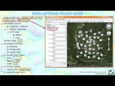
(RTR 3.2.1.3) Plotting Borehole Locations In Google Earth
Показать описание
RockWareSoftware
Borehole Maps
Contour Maps
Well Maps
Рекомендации по теме
0:03:46
(RTR 3.2.1.3) Plotting Borehole Locations In Google Earth
0:07:26
(RTR 3.2.1.4) Plotting Borehole Locations in Google Earth - Advanced
0:04:22
(RTR 3.1.3) Transferring Locations Between the Borehole Manager & Utilities Datasheet
0:07:35
(RTR 3.1.8) Depth-Registering Raster Logs & Other Images
0:01:35
(RTR 3.2.2.10.1) Changes to the Stratigraphy Picker
0:00:56
Rockworks Tips Borehole Locations Google Earth
0:04:30
(RTR 3.2.2.1.2) Striplog Profiles
0:05:28
(RTR 3.0) Borehole Manager - Introduction
0:06:04
(RTR 3.1.2) How To Create & Manage 'Sub-Sites'
0:03:35
(RTR 3.2.2.1.3) Creating Striplog Cross-Sections
0:04:16
(RTR 3.2.2.4) Computing Horizontal Borehole Paths
0:07:22
(RTR 4.16.3) Plotting Oil Leases
0:01:15
(RTR 3.2.1.1.1) Adding Peripheral Images To Maps
0:01:00
(RTR 2.1.1.1) Closest Point Gridding
0:03:45
(RTR 04.01.01.02) Symbol Map Options
0:02:29
(RTR 4.16.8) Displaying 3-D Paths
0:01:44
(RTR 2.1.1.12) Triangulation Gridding
0:03:11
(RTR 3.2.2.1.1) 2-D Striplogs
0:01:53
(RTR 2.1.2.1) Grid Dimensions
0:00:49
(RTR 3.2.4.3.1) Creating Stratigraphic Block Models
0:02:11
(RTR 4.16.7) Displaying Geologic Cross Sections & Geophysical Profiles
0:02:57
(RTR 3.1.4) Importing KGS (Kansas Geological Survey) Data
0:01:38
(RTR 3.2.3.7) Multivariate Lithology Maps
0:04:11
(RTR 3.2.2.2.2) Multiple 3-D Striplogs

 0:03:46
 0:07:26
 0:04:22
 0:07:35
 0:01:35
 0:00:56
 0:04:30
 0:05:28
 0:06:04
 0:03:35
 0:04:16
 0:07:22
 0:01:15
 0:01:00
 0:03:45
 0:02:29
 0:01:44
 0:03:11
 0:01:53
 0:00:49
 0:02:11
 0:02:57
 0:01:38
 0:04:11