filmov
tv
Google Earth Studio Tutorial | Easily Generate Aerial Animations of Any Spot In The World

Показать описание
COURSE LINK
SCRIPT DOWNLOAD
DOWNLOADS
OTHER RELEVANT COURSES
OTHER RESOURCES
OTHER RELATED VIDEOS OF INTEREST
SOCIAL MEDIA
CHAPTERS
00:00 Intro | Preview of Tutorial | Preview of results
00:28 Intro to Google Earth Studio
03:00 Jump into Google Earth Studio and Start Animating
03:17 Look Around the UI
03:41 Navigation Tools and Keyframe Animation
06:30 Set a Camera Target
07:40 Set Camera Tracking Points
08:21 Render Your Animation
09:45 Orbit Animation
11:30 Use Camera Tracking and 3d Camera in After Effects
15:35 Using 3d Camera Info in 3ds Max
19:18 Final Thoughts
DESCRIPTION
If you work in archviz like I do, you often need an aerial animation of a construction project in full context, but building all that context in 3d can be time consuming and expensive. In recent years, with the explosion of drone technology, getting the context has become easier. Of course, you have to invest in expensive drone technology, possibly get a commercial drone pilot license, and learn complex camera tracking techniques. Now, there might be yet another option...Google Earth Studio.
Google Earth Studio can't cut out the artistic and technical elements of meshing 3d models and video footage together, but it can provide good footage to start with. The most intriguing part is that it can do this for basically any spot in the world, and you never have to leave your desk. Of course, this has been available for a long time with Google Earth, however, with Studio, we now have full control over the animations using familiar 3d animation techniques. We can also create camera tracking information directly within Studio, and export it to After Effects. I find the animation tools incredibly useful and intuitive, and the resulting footage to be very usable.
In this tutorial, I show you the workflow and go over the essential tools, so that you can be up and running right away with Google Earth Studio. I'll even touch a little bit on how to use the camera tracking so you can add 3d elements to your flyover animations.
 0:07:58
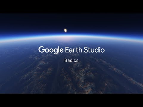
Google Earth Studio - Basics
 0:11:50
How to create a CINEMATIC VIDEO using GOOGLE EARTH STUDIO
 0:14:36
Create Drone-Style Videos for FREE with Google Earth Studio
 0:09:48
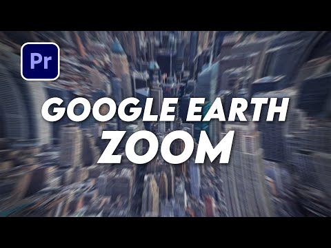
Google Earth Studio Zoom Transition Tutorial
 0:10:11
Google Earth Studio After Effects Tutorial (10 Tips)
 0:07:34
Fastest Travel Map Animation! | DETAILED Tutorial | FCPX | Google Maps + Earth Studio
 0:00:26
Create fake drone shots and 3d dynamic footage with Google Earth Studio
 0:11:50
Create DYNAMIC 3D Routes | Google Earth Studio + After Effects 2023
 1:10:10
Google Earth Studio Tutorial for Beginners 2024
 0:19:20
Google Earth Studio Tutorial
 0:01:11
Google Earth Studio - Animation Reel
 0:08:22
Google Earth Studio - Camera Target & Multi-View
 0:14:48
🌍Easy MAP Animations with GOOGLE EARTH STUDIO🌍
 0:41:24
A Complete Beginner's Guide to Google Earth Studio
 0:46:11
Making Cinematic Videos using Google Earth Studio
 0:00:21
Google Earth Studio- How to use it! #videography #editing #drone
 0:01:40
How to do a Google Earth Studio HYPERLAPSE
 1:10:09
Google Earth Studio Tutorial for Beginners in 2024
 0:37:21
Google Earth Studio Tutorial 2024 - Programa 100% Grátis
 0:05:35
Google Earth Studio : Créer un zoom depuis l'espace sur sa maison (sans Drone)
 0:06:44
Google Earth Studio Tutorial
 0:03:43
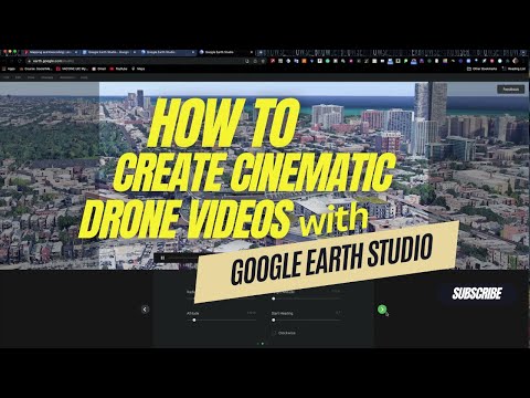
How to Create Cinematic Drone Videos with Google Earth Studio | ATH Tutorial
 0:24:28
Flying Through a Bridge Effect Tutorial - Google Earth Studio
 0:11:39
Google Earth Studio TUTORIAL
Комментарии