filmov
tv
Radio Navigation

Показать описание
This is the Demo Chapter of the Private Pilot Knowledge Test Prep Software/App.
Table of Contents
VORs 00:00;33
Principles of Operation 00:01:17
VOR Checks 00:02:05
Determining Your Position 00:03:06
VOR Test Questions 00:07:47
ADF Term 00:14:12
Navigating with the ADF 00:16:09
The RMI 00:17:13
ADF Test Questions 00:17:58
The GPS 00:23:07
Here is the Full Radio Navigation Chapter converted to video format and as this is also our free demo for the Private Pilot Interactive Test Prep Software it does not require payment.
For the full Software.
 0:00:22
Volkswagen Touareg 2008 car radio Android GPS navigation system #android #gps #radio #carplay #vw
 0:00:18
How to reset a 2025 RAM 1500's Infotainment/Radio/Navigation system! #ram #ram1500
 0:01:49
7''2 Din GPS Android Car Radio for VW/Seat GPS Mirror Link FM Wifi Bluetooth(English comme...
 0:00:30
Multimedia gps radio android Toyota rav4 with original reverse camera #shorts #gps #android
 0:00:37
Install Volkswagen golf 6 android radio gps, CarPlay 4gb ram #android #gps #radio #carplay #vw
 0:00:19
Toyota Harrier Japan Factory radio JBL Audio GreenEdge stereo unlock solution
 0:00:35
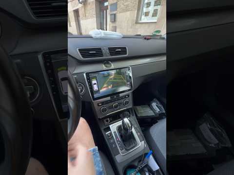
Volkswagen Passat b7 android gps radio, with original rear camera reverse OEM #android #gps #radio
 0:00:27
Dodge charger Android apple carplay touch Screen upgrade navigation radio multimedia cardisplay
 0:17:09
Frankia F-Line A 740 - Der Alpa Zerstörer!
 0:00:27
Skoda Car Android Player/Radio Player/Car GPS Navigation/Car Android Monitor
 0:00:25
Car USB DVR Install APK Links Android Car Radio Multimedia Stereo Navigation UIS7862 TS10
 0:00:34
2011 Acura mdx radio navigation serial number
 0:00:57
How to install android gps radio Volkswagen vw caddy 4gb ram Apple CarPlay android auto #shorts
 0:01:00
FREE Honda Radio Codes! DIY!
 0:00:31
Tesla Style Android Car Stereo Radio GPS Navigation Head Unit SatNav Replacement Buick Enclave 09-13
 0:03:47
AUX DIY VW Radio Navigation System MFD VWZ1Z7
 0:00:11
Chevrolet Captiva Android Car Radio Navigation System 13.6 Inch PX6 Tesla Style GPS Navigation
 0:00:16
12.3 inch Android car radio stereo gps navigation system for Acura TLX with CarPlay
 0:02:07
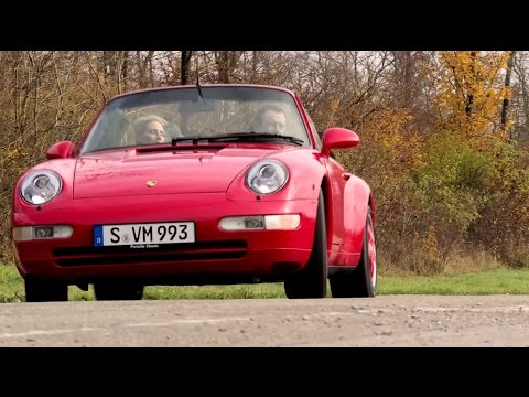
Porsche Classic Radio Navigation System
 0:08:39
Ridiculously easy VOR Navigation!
 0:00:49
NISSAN Pathfinder Tesla Android radio GPS Auto Multimedia factory
 0:01:01
upgrade my chevy radio with wireless Apple CarPlay head unit. #EononQ80PRO #eonon20years
 0:00:16
Acura TSX 2004-2008 Android 12 Radio Wireless Apple Carplay & Android auto#navitech #acuratsx
 0:01:00
Navigatie Android GPS Skoda Octavia 2 Facelift #android #gps #radio #carplay #skoda install gps
Комментарии