filmov
tv
GIS 6.1.4 - Google Earth Engine (Validating the Madaba ACD results in QGIS and Google Earth)
Показать описание
EAMENA Project
Рекомендации по теме
0:06:33
GIS 6.1.1 - Google Earth Engine (Automatic Change Detection, Introduction)
0:08:21
Import Latitude & Longitude Coordinates to Google Earth from CSV Excel file
0:03:13
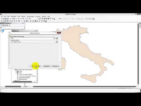
ArcGIS Projection With Google Earth
0:05:32
Importing GIS shapefiles into Google Earth Engine
0:28:55
Google Earth 1st tutorial: How to use Google Earth pro for GIS and Survey || Google Earth
0:07:01
Google Earth Part 5: GIS Vector Data Import & Style Templates
0:51:18
Complete Google Earth Engine for Remote Sensing & GIS analysis for beginners to Advanced level
0:13:52
2nd day's of Complete Google Earth Engine for Remote Sensing & GIS online training for Geos...
0:27:35
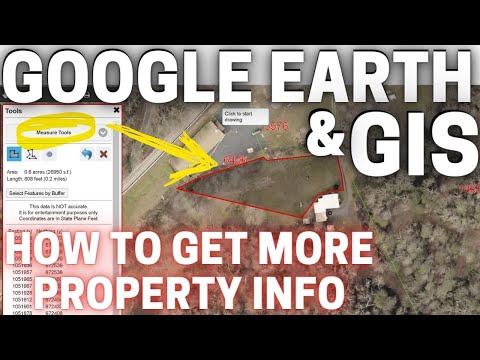
How to use GIS & Google Earth for Property Searching | Farm and Homestead Search Tips
0:06:18
Entering UTM grid coordinates into Google Earth
0:02:08
Download Topographic Maps from Google Earth - Mapping in GIS
0:12:19
QGIS Layout Design - Part 1 Google Earth
0:04:11
Latitude & Longitude Coordinates Google Earth
0:13:03
How To Create a Site Plan using GIS, Google Earth and AutoCAD. A Step by Step Guide.
0:06:23
Shapefile Creation in Google Earth and Open it up in ArcGIS
0:37:58
🛑Complete Google Earth Engine for Remote Sensing & GIS 7 days online training by studyHacks
0:09:55
Google Earth Engine Tutorial 6: Air Quality Monitoring using Remote Sensing Techniques
0:06:08
GIS 4.2.4 Google Earth Engine (Exporting Sentinel 2 Imagery to QGIS)
0:06:14
How to add Latest Google Earth Satellite Imagery in ArcGIS
0:06:42
MEASURING CARBON STORAGE FROM SPACE using Google earth engine || Using Remote sensing tecniques
0:59:55
Complete Google Earth Engine for Remote Sensing & GIS analysis || GEE online training for non-co...
0:21:51
Supervised classification in Google Earth Engine Land Use and Land Cover Classification Earth Engine
0:00:29
Why you can’t see the 🎅🏻North Pole on 📍Google Maps #googlemaps #maps #geography #santa
0:04:52
RS & GIS QA29 How to Use Google Maps and Google earth for Point of Interest (POI) data Generatio...

 0:06:33
 0:08:21
 0:03:13
 0:05:32
 0:28:55
 0:07:01
 0:51:18
 0:13:52
 0:27:35
 0:06:18
 0:02:08
 0:12:19
 0:04:11
 0:13:03
 0:06:23
 0:37:58
 0:09:55
 0:06:08
 0:06:14
 0:06:42
 0:59:55
 0:21:51
 0:00:29
 0:04:52