filmov
tv
Zenmuse L1 - Lidar + RGB Surveying Solution - DJI at DroneXperts.com

Показать описание
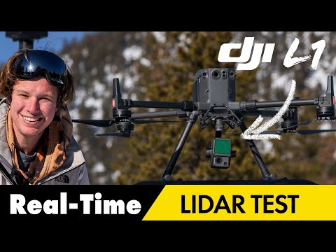
The DJI L1 integrates a frame Lidar with 3 returns, a high-accuracy IMU, and a 1-inch CMOS on a 3-axis gimbal. When used with the Matrice 300 RTK and DJI Terra, the L1 solution captures complex structures accurately 24/7.
A Lidar + RGB Solution for Aerial Surveying
The Zenmuse L1 integrates a Livox Lidar module, a high-accuracy IMU, and a camera with a 1-inch CMOS on a 3-axis stabilized gimbal. When used with Matrice 300 RTK and DJI Terra, the L1 forms a complete solution that gives you real-time 3D data throughout the day, efficiently capturing the details of complex structures and delivering highly accurate reconstructed models.
_________________________________________________________________
 0:03:23
 0:16:34
 0:10:42
 0:02:18
 0:19:30
 0:00:50
 0:05:16
 0:03:21
 0:31:46
 0:10:52
 0:00:12
 0:06:39
 0:00:23
 0:00:17
 0:06:44
 0:02:55
 0:06:51
 0:01:01
 0:02:05
 0:13:18
 0:00:16
 0:00:22
 0:02:15
 0:00:16