filmov
tv
One Minute Map Hack: How to Use Pictures as Point Symbols in ArcGIS Pro

Показать описание
You can do loads of stuff by building up symbol layers in ArcGIS Pro. You can also pull in an image to use as a symbol if you like. Here's how!
Check out some other social channels where I share how-to's and updates on random map adventures:
Check out some other social channels where I share how-to's and updates on random map adventures:
 0:00:55
One Minute Map Hack: Create a Reverse Area of Interest
 0:01:37
One Minute Map Hack: Spotlight that Area of Interest
 0:00:47
One Minute Map Hack: Area of Interest Dropshadow Effect
 0:00:50
One Minute Map Hack: Edit a Raster Effect Without Starting Over
 0:00:42
One Minute Map Hack: Using Styles to Make Bonkers Maps
 0:01:00
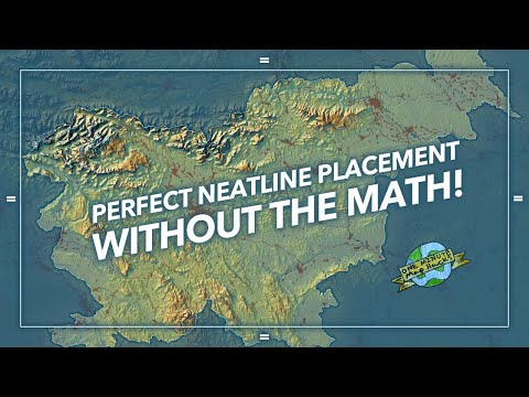
One Minute Map Hack: Perfect Neatline Placement Without the Math!
 0:01:03
One Minute Map Hack: Wait, Which Layers Are Labeled Again?
 0:02:19
One Minute Map Hack: Silky Smooth Spilhaus
 0:00:59
One Minute Map Hack: Make an Area POP in ArcGIS Online
 0:00:59
One Minute Map Hack: Boost the Drama with MIST
 0:01:00
One Minute Map Hack: Make an ArcGIS Pro Style
 0:01:32
One Minute Map Hack: Make a Picture Fill Map
 0:03:01
One Minute Map Hack: Style that Text!
 0:00:57
One Minute Map Hack: Georeference Images to Give them Spatial Life
 0:00:49
One Minute Map Hack: Feature Opacity
 0:00:37
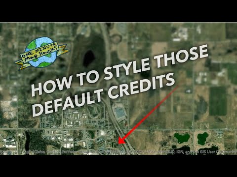
One Minute Map Hack: How to Style those Default Basemap Credits in ArcGIS Pro
 0:01:20
One Minute Map Hack: How To Reattach Siberia
 0:01:19
One Minute Map Hack: Un-Do Image Rendering Overrides
 0:00:52
One Minute Map Hack: How to Find and Use Alternate Imagery Basemaps
 0:00:36
One Minute Map Hack: How to Tweak a Projection
 0:01:47
One Minute Map Hack: Extract Map Symbols as Image Graphics
 0:00:58
One Minute Map Hack: Convert Your Map to 3D
 0:00:53
One Minute Map Hack: How to Fix Overly-Busy Coastlines
 0:01:16
One Minute Map Hack: Erase Bits of an Image With a Transparency Gradient
Комментарии