filmov
tv
Tracking California’s Coastal Change with High-Accuracy GNSS, Drones, and GIS

Показать описание
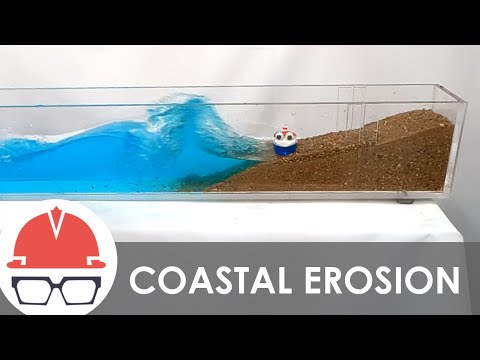
Dr. Kyle Emery, an Assistant Researcher at the Marine Science Institute of the University of California, Santa Barbara, is leading a research project to measure and monitor how beaches and dunes change seasonally and after strong events. Using a combination of technologies — including an Arrow Gold+ GNSS receiver, ArcGIS Field Maps, and a DJI Mavic 3 Multispectral drone — Emery and his assistants are collecting data at 14 sites along the California coast. Emery hopes his work can benefit not only local communities that depend on coastal resources, but also researchers globally by providing a method to monitor beach ecology over time.
 0:07:19
 0:58:58
 0:57:55
 0:00:11
 1:03:57
 0:03:29
 0:22:36
 0:56:18
 0:03:26
 0:09:44
 0:00:46
 0:02:11
 0:40:19
 0:11:48
 0:04:56
 0:16:37
 0:09:02
 0:04:34
 0:40:36
 0:00:11
 0:08:52
 0:36:36
 0:04:52
 0:45:42